Unmanned Aerial Vehicle (UAV) Applications

Unmanned Aerial Vehicle – Expanding Possiblities

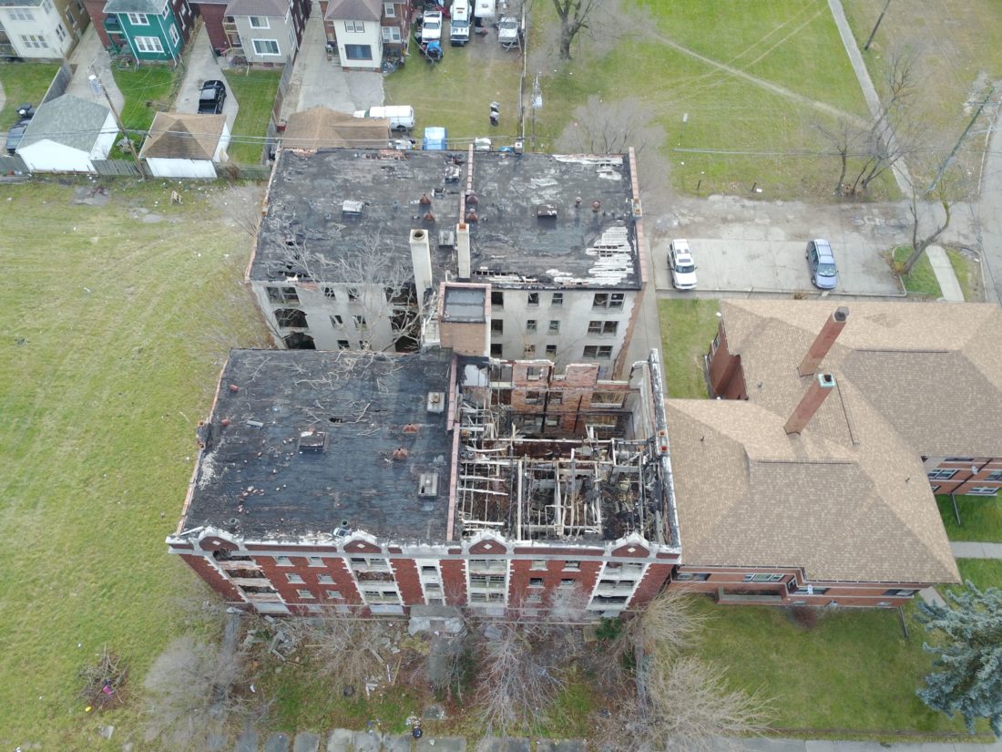
We provide Unmanned Aerial Vehicle (UAV) applications for construction and other suitable projects, specializing in aerial view shed photography and visual impact surveys for marketing, zoning, site planning, and architectural design.

Click here to view the PDF

Metro Strategies has partnered with the Michigan Technical Research Institute (MTRI),), a research center of Michigan Technological University, to provide UAV services to infrastructure projects in the state of Michigan and other areas interested to see how this technology creates an efficient, safe and reliable option for overhead, closed spaces and thermal sensing needs. MTRI has discovered that these flexible remote-sensing technologies can help address transportation agency needs in operations, maintenance, and asset management while decreasing cost and increasing safety.

The Metro/MTRI partnership will, more importantly, create internships for college students from underrepresented communities in this craft and look to eventually hire interns for commercialization of the UAV work through Metro Strategies.


Midland Bridge Inspection
Gordonville Road, Midland, Michigan
September 15, 2016

Metro Strategies in partnership with Michigan Tech Research Institute (MTRI)used various UAV’s fitted with thermal cameras to determine the structural integrity of the Gordonville Road bridge.


Muskegon Road Corridor Inspection
M-120 (Holton Rd), Twin Lakes, Michigan
June 14, 2017

The Michigan Department of Transportation closed a half mile stretch of road to allow Metro Strategies  and MTRI to provide a bird’s eye view of existing road infrastructure conditions for a variety of reasons; determine the deterioration rate of the road, determine areas where there is accelerated deterioration over a specified period.


I-696 Confined Spaces Project
Evaluating the Use of Unmanned Aerial Vehicles for Transportation Purposes: The first MDOT UAV Project Date: Flights completed between 2013 and 2014

This was both video and pictures in pump stations. The project used three different drones. The DJI Phantom 1 was used to send video back to First Person Viewer (FPV) goggles and capture pictures inside the pump station. The other two were significantly smaller as one of the UAV’s only took pictures while the other streamed video back to a cell phone.


  • Large-Scale Exterior Building Envelope (Rooftop and Facade) Inspection
  • Moisture and Heat-loss Detection
  • Overheating Equipment
  • Environmental Inspection
  • Aerial Visual Pipeline and Transmission Line Inspection
  • Long-term Aerial Thermal Surveillance
  • Closed & confined space inspection